Where Is Cappadocia?
Cappadocia sits in Central Anatolia, Turkey, mainly within Nevşehir province, at approximately 38.6431° N, 34.8289° E. It lies roughly in the geographic center of the country, several hours by road from both Istanbul and Ankara, and is reached most conveniently by air via Nevşehir Kapadokya Airport (NAV) or Kayseri Erkilet Airport (ASR), both about an hour from the region's main towns.
Main Towns and Their Location
| Town | Character | Distance from Göreme |
|---|---|---|
| Göreme | Central, most walkable base; open-air museum and valleys nearby | — |
| Uçhisar | Highest point in the region, dramatic castle-rock views | ~10 minutes |
| Ürgüp | Quieter, upscale, known for wine and dining | ~15-20 minutes |
| Avanos | Pottery town on the Kızılırmak (Red River) | ~20 minutes |
| Çavuşin | Small village adjoining Rose and Red Valley trailheads | ~10-15 minutes |
Key Sights and Where They Sit
- Göreme Open-Air Museum: roughly 2 km east of central Göreme.
- Paşabağ and Devrent Valley: a short drive north of Göreme, on the road toward Avanos.
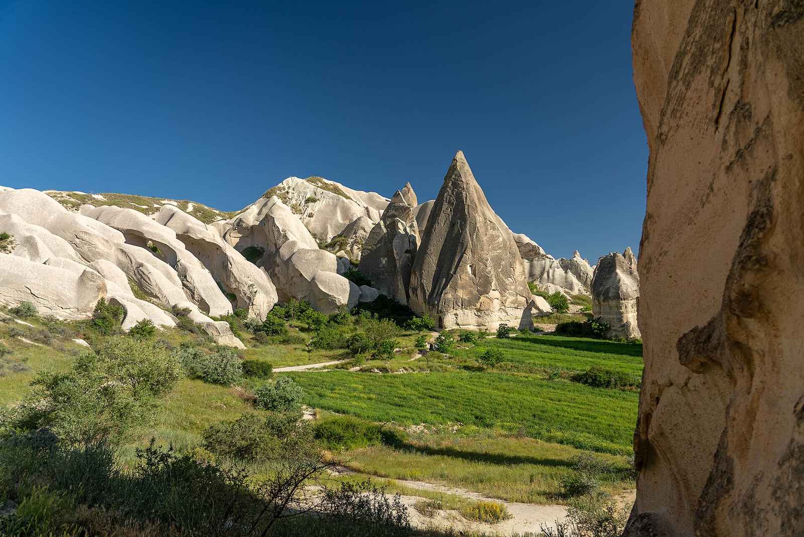
- Love, Rose, Red, and Pigeon Valleys: form a connected network between Göreme, Uçhisar, and Çavuşin.
- Uçhisar Castle: the highest point in the region, offering panoramic views over most of the surrounding valleys.
- Derinkuyu and Kaymaklı underground cities: roughly 30-40 minutes south of Göreme.
- Ihlara Valley: about 1.5 hours southwest of Göreme, near Aksaray.
- Nevşehir Kapadokya Airport (NAV): roughly 30-45 minutes from Göreme.
- Kayseri Erkilet Airport (ASR): roughly 1 hour from Göreme.
Orienting Yourself for a First Visit
Most first-time visitors base themselves in Göreme for its central location and short walk to the open-air museum and several valley trailheads. From there, Uçhisar and the fairy-chimney valleys close to Paşabağ and Devrent are easy half-day trips, while Ihlara Valley and the underground cities are better suited to a full-day tour or rental car excursion given the extra driving distance. See our how to get there guide for flight and transfer details into the region, and our tours guide for how organized day trips typically group these sights together.
Distances from Major Cities
| From | Distance/time |
|---|---|
| Istanbul (by road) | ~700 km, 9-10 hours |
| Istanbul (by air) | ~1-1.3 hours to Nevşehir/Kayseri |
| Ankara (by road) | ~3.5-4 hours |
| Konya (by road) | ~2.5-3 hours |
| Antalya (by road) | ~6-7 hours |
Planning Your Route Through the Region
Because Cappadocia's sights span a fairly wide area, it helps to group destinations by proximity: the fairy-chimney valleys and open-air museum near Göreme on one day, Uçhisar and Avanos on another, and Ihlara Valley with an underground city as a longer day trip further south. Check our Cappadocia overview for a suggested itinerary framework that follows this same geographic logic.
Understanding the Region's Geography
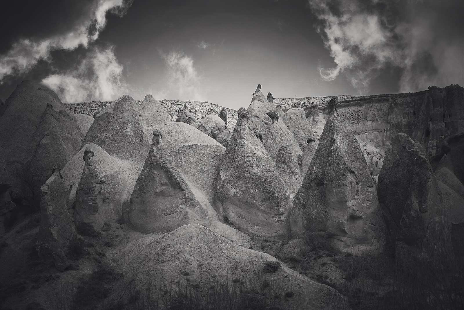
Cappadocia is not a single valley but a broad plateau of volcanic tuff shaped by two extinct volcanoes, Mount Erciyes to the east and Mount Hasan to the south, whose ash falls over millions of years created the soft rock that erosion later carved into fairy chimneys. This geological footprint stretches loosely between Nevşehir in the west, Kayseri in the east, and Aksaray in the south, but the concentration of tourist sights — valleys, museums, cave hotels, and underground cities — sits in a much tighter cluster around Göreme, roughly 15-20 km across at its widest.
Understanding this layout helps with trip planning: nearly everything within the Göreme-Uçhisar-Ürgüp-Avanos cluster can be reached in under 30 minutes by car, dolmuş, or organized tour, while Ihlara Valley and the town of Aksaray sit in a separate cluster to the south that requires a longer dedicated trip. Travelers coming from Cappadocia's airports should expect roughly an hour of transfer time regardless of which town they're staying in, since Nevşehir Kapadokya and Kayseri airports both sit outside the main tourist cluster.
Using Maps on the Ground
Mobile signal is generally reliable throughout Göreme, Ürgüp, and Uçhisar, making GPS navigation apps a practical way to find valley trailheads and hotel locations. That said, some fairy-chimney valleys have limited or inconsistent signage, so downloading an offline map of the region before setting out on a hike is a sensible precaution, particularly for the longer Ihlara Valley route where mobile coverage can be patchier along the canyon floor. Physical maps are also widely available at hotels and tour offices in Göreme, and most cave hotel front desks are happy to mark out walking routes to nearby valleys and viewpoints on request.