Choosing when to go
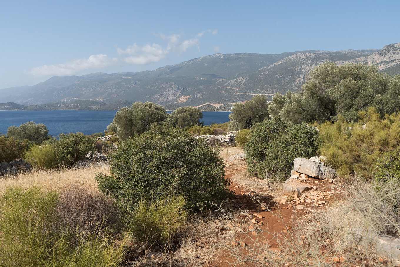
The Lycian Way follows Turkey's Mediterranean coast, which means mild, wet winters and very hot, dry summers — a climate that narrows the comfortable hiking window to two clear shoulder seasons.
Spring (March–May) is widely considered the best time. Wildflowers cover the maquis scrub, temperatures sit comfortably in the high teens to mid-20s°C, and water sources — springs, cisterns, village fountains — are at their most reliable after winter rain. Late March and April can still bring occasional rain showers, so pack a light shell.
Autumn (September–November) is the second prime window. September can run hot in the first weeks but cools steadily; October is arguably the sweet spot, with warm days, cool nights, and the sea still swimmable. By November, rain becomes more frequent and days shorten noticeably.
Summer (June–August) is genuinely difficult. Daytime temperatures regularly exceed 35°C on exposed limestone sections with little shade, water sources can run dry, and heat exhaustion is a real risk on longer stages. If you hike in summer, start at first light, finish by early afternoon, and carry more water than you think you need.
Winter (December–February) is mild by northern-European standards — daytime temperatures often reach 12–16°C at the coast — but frequent rain, shorter daylight hours, and some closed village guesthouses make it the least practical season for multi-day sections, though short day walks near Fethiye or Antalya remain possible.
Month-by-month at a glance
| Month | Conditions | Verdict |
|---|---|---|
| Mar | Cool, occasional rain, green hills | Good, pack a shell |
| Apr–May | Warm, wildflowers, reliable water | Best window |
| Jun | Getting hot, still walkable | Start early each day |
| Jul–Aug | Very hot, limited shade | Avoid long stages |
| Sep | Cooling, warm sea | Good, especially late month |
| Oct | Mild, comfortable | Best window |
| Nov | Cooling, more rain | Good for short sections |
| Dec–Feb | Mild but wet | Day walks only, mostly |
What makes the Lycian Way difficult
Difficulty on the Lycian Way comes from four factors, not any single obstacle:
Terrain underfoot. Long stretches cross loose limestone scree, rooted forest trail, and rocky coastal paths that demand constant attention to footing. Ankle-supporting boots and trekking poles noticeably reduce fatigue and injury risk.
Elevation change. Daily ascents and descents of 500–800 meters are routine as the trail climbs from sea level into pine hills and back down to the next bay — cumulative elevation gain over a week can exceed that of a mountain trek, even though the trail never gets technically high.
Heat and sun exposure. Much of the route runs through open maquis scrub or across bare limestone with minimal shade, particularly between late morning and mid-afternoon.
Navigation. Waymarking is generally reliable but fades or gets overgrown in quieter inland sections, and some junctions are ambiguous without a GPS track or up-to-date guidebook.
None of these factors are extreme individually, but combined over a multi-day section they add up to a trail best suited to hikers with reasonable fitness and at least some prior multi-day trekking experience — see packing and preparation for the gear that makes the biggest difference.
Matching difficulty to your fitness
If you're newer to multi-day hiking, start with a shorter, well-served stretch such as Ölüdeniz to Kabak or Kaş's day-walk network, both covered in our route and stages guide. Experienced hikers looking for a genuine challenge should consider the remote Kaş–Demre–Finike stretch or a full end-to-end traverse, ideally in April–May or October.
Water and heat management
Water is the single biggest seasonal variable. In spring, springs and village fountains are generally reliable; by late summer, several are reduced to a trickle or dry entirely, and hikers should plan to carry 3–4 liters per person on exposed stages and confirm water points with a recent guidebook edition or local pansiyon owner before setting out. Salt tablets or electrolyte powder are worth packing for summer or shoulder-season heat.
If you're unsure
Hikers who are uncertain about navigating heat, water logistics, or route-finding independently often opt for a guided itinerary with baggage transfer and pre-booked accommodation — see our comparison of guided vs independent hiking, or read the overview for a first look at the whole trail.
How difficulty varies by section
Difficulty is not uniform across the trail's roughly 540 kilometers. The Ölüdeniz to Kabak stretch, while short, includes some of the steepest single-day climbs and descents on the entire route, particularly around Butterfly Valley and the approach to Alinca. The Patara to Kaş section is comparatively gentle, with more road-adjacent walking and easier resupply. The Kaş to Finike stretch is the most remote and least serviced, with longer gaps between villages and water points, making it the section where good preparation matters most. The final Finike to Antalya stage reintroduces significant elevation gain around Tahtalı, making it a demanding finish for hikers already several weeks into a full traverse.
Acclimatizing to the heat
Even during the shoulder seasons, midday sun on exposed limestone can feel considerably hotter than the air temperature suggests, since pale rock reflects heat back upward. Hikers arriving directly from cooler climates benefit from a day or two of lighter walking near the coast before attempting a full, exposed stage, allowing the body to begin adjusting to both the heat and the sun exposure. Starting each day's walk as early as practical — ideally by first light in the warmer months — remains the single most effective way to avoid the worst of the midday heat on any section of the trail.
Weather risk beyond heat
While heat dominates summer planning, spring and autumn hikers should watch for occasional heavy rain, particularly in April and November, which can make some of the trail's rockier descents slippery and river crossings higher than usual after storms. Checking a short-range forecast each morning, rather than relying solely on a seasonal average, is worth the two minutes it takes and can inform a decision to delay a particularly exposed or steep stage by a day.